
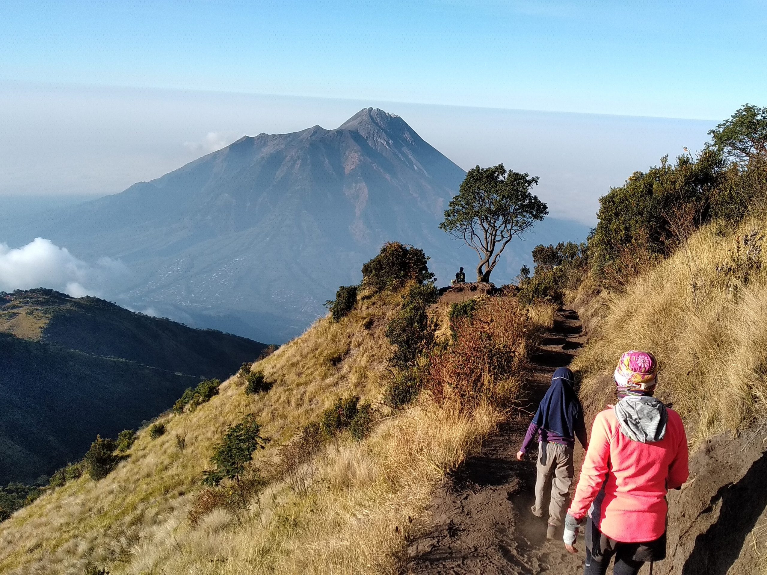
Mount Merbabu is a dormant stratovolcano located in Central Java, standing between the regencies of Magelang, Boyolali, and Semarang. Its name is derived from the Javanese words “Meru” (mountain) and “Abu” (ash), often translated as “Mountain of Ash.” Reaching an elevation of 3,145 meters above sea level (masl), it is a favorite among hikers due to its stunning savanna landscapes, well-maintained trails, and 360-degree panoramic views at the summit, which offer vistas of neighboring peaks like Mount Merapi, Mount Sindoro, and Mount Sumbing.
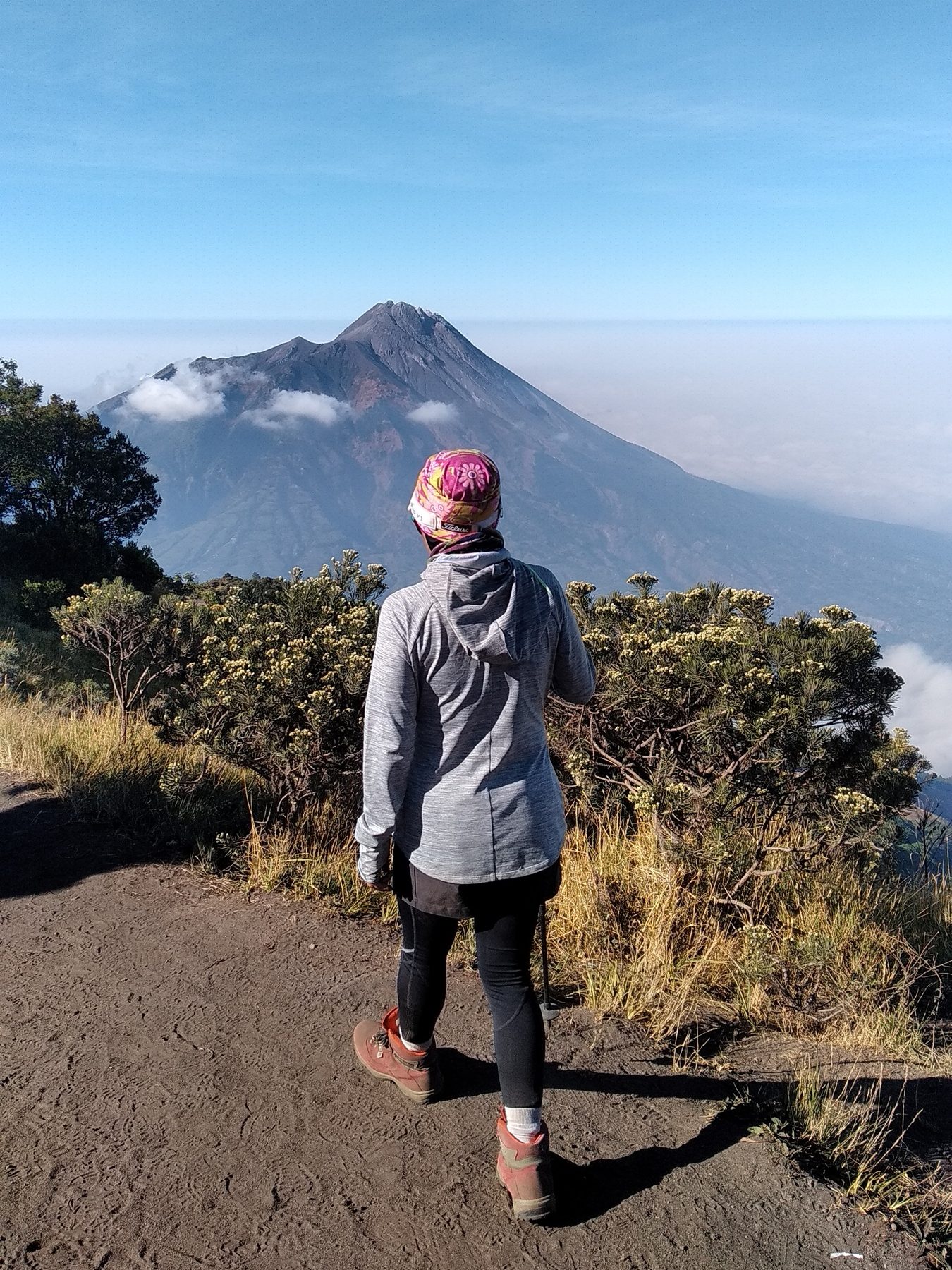
Mount Merbabu has eruption on 1560 and 1797, and also reported on 1570, but there are no further confirmation and research about this.
Merbabu is one of the favorite destination for many mountain climber to visit. The beautifull view at the top or even on the way to the top, become a magnet to many volcano trekker or adventure junkie, to come and visit. Not only for local, a lot of trekkers also coming from other countries to hike Mount Merbabu.
There are several trails to reach the summit of Mount Merbabu :
– Selo (Boyolali): Located about 1,5 hours from the special distric of Yogyakarta, it’s the most popular trail for climbers, offering complete facilities and breathtaking views.
– Wekas, Cuntel, or Thekelan: These trails are also available but generally feature more challenging terrain or different forest characteristics.
Best Time to Visit Mount Merbabu is during dry season (April–October) is the best time for clear weather. It is advisable to avoid hiking during the rainy season when trails become extremely slippery and temperatures drop significantly.
If you are coming from outside Indonesia, you can take flight to Yogyakarta International Airport. Or you can contact Trail Indonesia if you need any assistance to climb mount Merbabu.

Leave a Reply